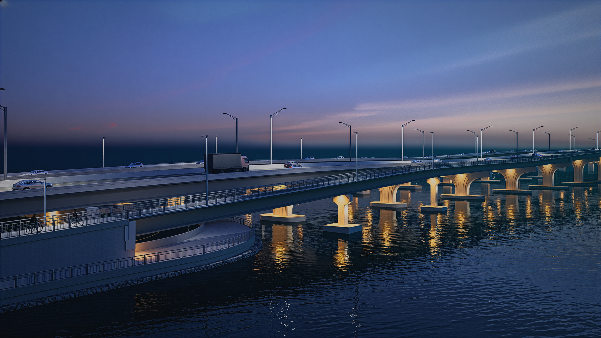
The Cape Coral Bridge Project will begin with a Project Development and Environment (PD&E) Study before design and construction. The PD&E Study will comply with the National Environmental Policy Act (NEPA) and allow the project to be eligible for federal funds through the Florida Department of Transportation (FDOT). FDOT will oversee the PD&E study.
The existing Cape Coral Bridge is a principal arterial, four-lane bridge that provides east-west connectivity to Cape Coral Parkway and College Parkway across the Caloosahatchee River. The bridge has a posted speed limit of 45 mph and is the southernmost crossing of the Caloosahatchee River. The two-lane west bound span was constructed in 1963 and is scheduled for replacement. The two-lane eastbound span was constructed in 1989 and is expandable to accommodate three lanes and a multi-use path. Lee County Metropolitan Planning Organization’s Long-Range Transportation Plan (LRTP) has identified the reconstruction of the Cape Coral Parkway Bridge as third on the list of ‘Roadway Needs’ for the 2045 LRTP. The PD&E Study will evaluate alternatives to add capacity to the corridor. Project limits are from Del Prado Boulevard in Cape Coral to McGregor Boulevard in Fort Myers.
